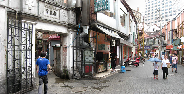
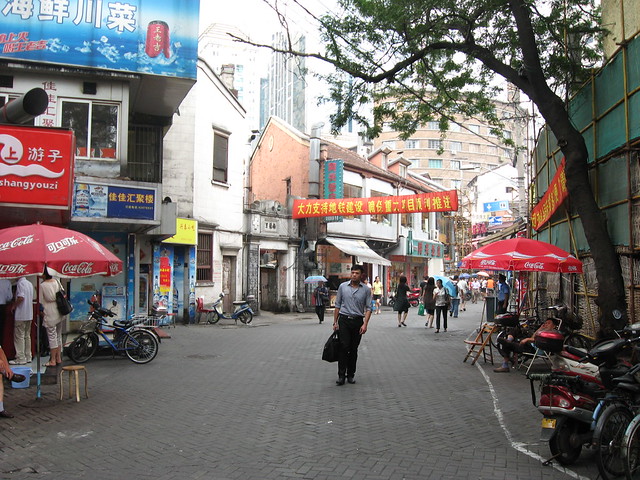
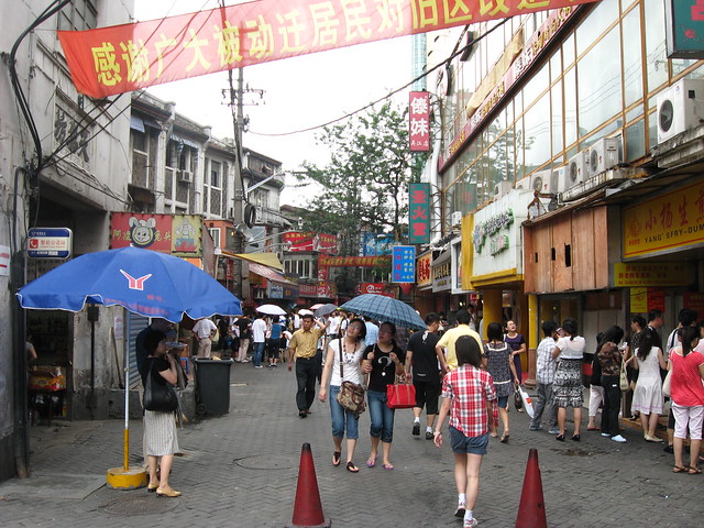
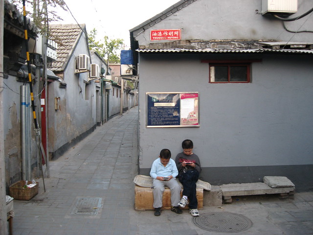
Wujiang Lu food street, near Nanjing Xi Lu station
Wujiang Rd (吴江路) is a small street in Shanghai that has gone through several transformations in its history, from a den of vice, to a popular food street, to a high-end pedestrian “leisure” street. Situated in Jing’an district just off Nanjing Xi Lu near the subway station on Line 2, the street’s origins lie sometime before the 1860’s when its winding path following a creek made such a convenient shortcut that it became Shanghai’s first toll road and was known in chinese as Diamond Bridge Rd.
Wujiang Lu was (rather ironically) called Love Lane when it was part of the International Settlement and was notorious from the 1920’s as a den of brothels and vice unparalleled even in the Shanghai of the time. “Despite its romantic name, everything was for sale on Love Lane.”
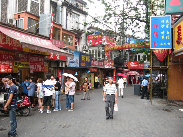
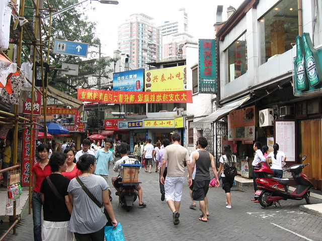
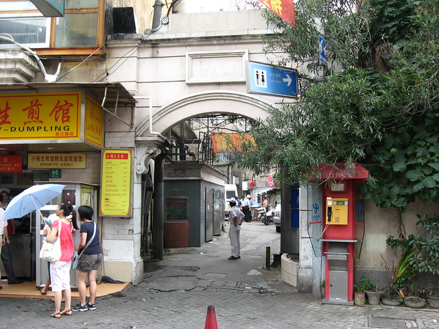
At some point in later decades Wujiang Lu became a very popular food street with crowds of locals jostling for cheap treats from all over China. Unlicensed stalls lined the pedestrianized street competing with the small restaurants, some of them quite famous.
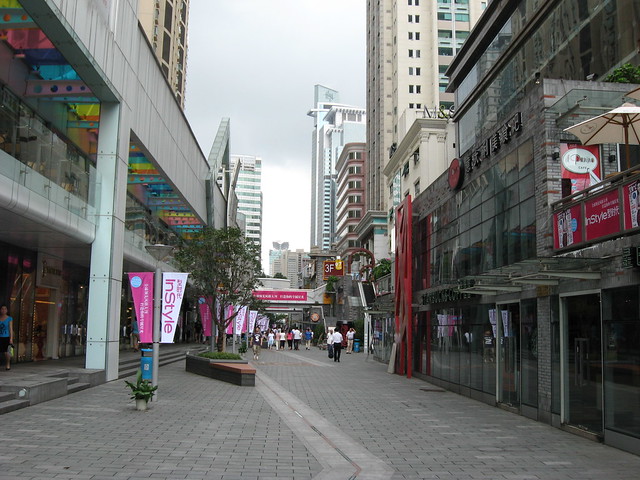
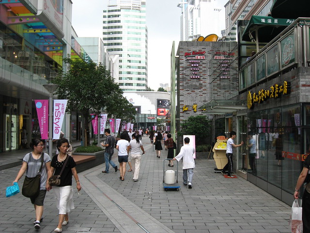
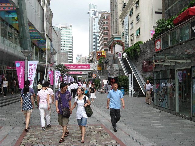
"Wujiang Road Leisure Street" west of Shimen 1st Rd
Then along came the spectre of Expo 2010 and a very strong government desire to “clean up” places like Wujiang Lu. The section of the street west of Shimen 1st Rd was entirely demolished and replaced with “Wujiang Road Leisure Street”, a new pedestrian street of fashion boutiques and chain restaurants, a dull corporatized pedestrian mall. In events very typical of current chinese redevelopment, a place abounding in street life and food and shops affordable for most chinese locals has been replaced with expensive shops and restaurants targeted at the nouveau riche.
The section of Wujiang Lu east of Shimen 1st Rd has survived so far, but it seems has been cleaned up a lot and the unlicensed vendors removed. It’s unclear whether or not the short remaining block still has demolition looming over its head.


&ie=UTF8&ll=51.962673,4.394081&spn=0.006677,0.015256&t=h&z=16&iwloc=A)
&ie=UTF8&ll=51.961853,4.39481&spn=0.006677,0.015256&t=h&z=16&iwloc=A)
&ie=UTF8&ll=52.009506,4.365499&spn=0.00667,0.015256&t=h&z=16&iwloc=A)
&ie=UTF8&ll=52.00236,4.375155&spn=0.006671,0.015256&t=h&z=16&iwloc=A)
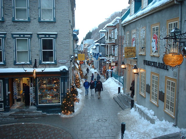
&ie=UTF8&ll=46.812705,-71.203546&spn=0.001836,0.003814&t=h&z=18)
&ie=UTF8&ll=45.502971,-73.556213&spn=0.00376,0.007628&t=h&z=17&iwloc=A)
&ie=UTF8&ll=45.507745,-73.552426&spn=0.003759,0.007628&t=h&z=17&iwloc=A)
&ie=UTF8&ll=45.516204,-73.577682&spn=0.003759,0.007628&t=h&z=17&iwloc=A)
&ie=UTF8&t=h&z=15)